Guide · CAD base map
OpenStreetMap to DXF: four ways to get a clean CAD base map of a European site.
OpenStreetMap is the most complete free source of buildings and streets in Europe, but it does not arrive as a drawing. This guide compares the common routes from OpenStreetMap to a layered DXF (QGIS, a converter script, a CAD plug-in and an online generator) and shows where Gridded fits: generate the site once, style it, then export the same project as PDF, DXF or SVG.
- buildings, roads, rail, water and greenery on separate, named layers
- coordinates in metres: the UTM zone of the site, or PL-1992 for Polish sites
- one project you can restyle and export again instead of a one-off file
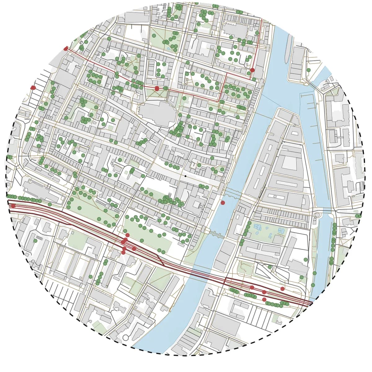
The goal
What a usable CAD base needs
A DXF made straight from raw OpenStreetMap is rarely ready to draw on. Coordinates come in degrees, streets are split at every junction and everything tends to land on one layer. For design work the base needs real-world units, a projected coordinate system, closed building outlines and a layer structure you can freeze and recolour in your CAD template.
- metres in a projected coordinate system, not degrees
- closed building outlines you can hatch
- one named layer per feature type
- OpenStreetMap attribution kept with the drawing
The four routes
QGIS, scripts, CAD plug-ins and online generators
QGIS with an Overpass download is free and flexible: you filter, reproject and export with its DXF tool, and repeat that for every site. Converter scripts such as osm2dxf are quick if you code, but layers and scale need tuning. CAD plug-ins import OpenStreetMap straight into AutoCAD, but they are paid and tied to one program. Online generators such as CADMapper, TopoExport and Gridded skip the GIS step: you pick an area and download a file.
- QGIS + Overpass: free, most control, the longest set-up
- scripts: fast for coders, fiddly for everyone else
- CAD plug-ins: convenient inside AutoCAD, paid
- online generators: minutes, with less control over the raw data
Where Gridded differs
Style and check the site before you export it
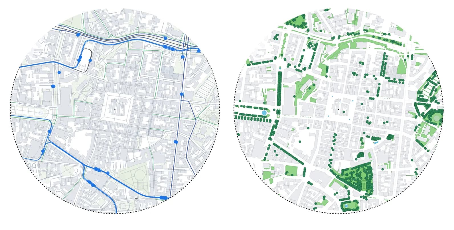
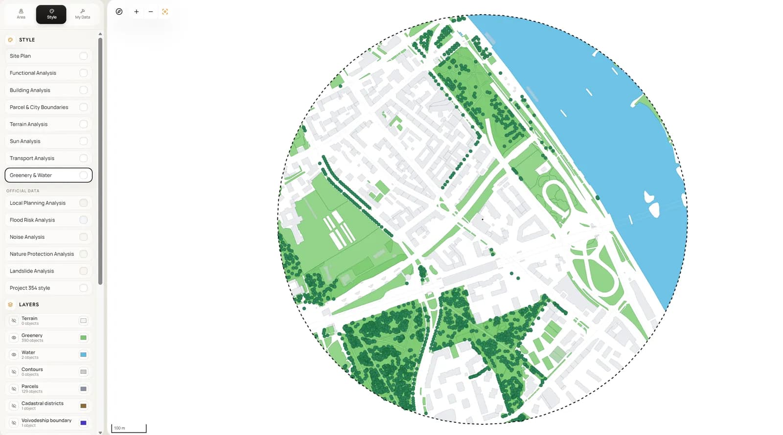
Gridded keeps the study area as a project. You can switch presets, hide layers, draw missing buildings, check the site in 3D and run a sun study before you export, and export again later without starting over. The DXF follows the look you see: named layers, colours mapped to the nearest AutoCAD colour index and hatched building fills.
Coordinates
Know the coordinate system before you overlay survey data
Outside Poland, Gridded draws each project in the UTM zone of the site and shows the zone before you export, so the DXF lines up with other data in the same zone. Polish projects use PL-1992 (EPSG:2180), the national system used by surveyors.
Workflow
From OpenStreetMap to a DXF in four steps with Gridded
No downloads, queries or projections to set by hand. The study area is the only decision you make up front.
Pick the site and the study area
Search an address in one of the 50 covered countries and draw a circle or a square. Up to 1 km² costs two tokens.
Generate and check the data
Compare the result with an aerial view. Draw any missing building, or import your own DXF of the plot to sit on top of the context.
Choose how the drawing should look
Pick a preset or a look. Layer visibility and colours become the layers and colours of the export.
Export
DXF for AutoCAD, ArchiCAD or Revit, SVG for Illustrator, GeoJSON for QGIS, or a vector PDF sheet. DXF, SVG and GeoJSON are part of the Student and Solo plans; the Free plan exports PDF.
What you get
What one export gives you
The same project can be exported in several formats, each with the styling you set in the app.
- a layered DXF in metres, in the UTM zone of the site (PL-1992 in Poland)
- SVG with the same styling for Illustrator, Figma or Inkscape
- GeoJSON for QGIS or ArcGIS
- a vector PDF sheet at scale for print
Comparison
Gridded vs QGIS and Overpass
Both routes start from the same OpenStreetMap data. The difference is the work around it.
| Criterion | Gridded | QGIS + Overpass |
|---|---|---|
| Starting point | An address | An Overpass query or an .osm download |
| Coordinate system | Set automatically (UTM zone or PL-1992) | Chosen and reprojected by hand |
| Layer structure | Named layers per feature type | Built in the export dialog |
| Styling before export | Presets and looks | Symbology per layer |
| Next export of the same site | Reopen the project | Reopen a saved QGIS project or start again |
| Price | Free plan for PDF; DXF on paid plans | Free |
Frequently asked questions
Can I get a DXF from Gridded for free?
Not during the current test period. The Free plan exports a vector PDF, and DXF comes with the Student and Solo plans when they open. If you need a free DXF today, the QGIS route above works well; Gridded is faster when you need several views of the same site or repeat the job often.
Which CAD programs open the DXF?
AutoCAD, ArchiCAD, Revit, Vectorworks, Rhino, BricsCAD and any other program that reads DXF. Coordinates are in metres.
Does the DXF include building heights?
Not yet. The DXF holds 2D outlines; heights are used in the 3D view and the sun study inside the app.
Which countries are covered?
Poland and the rest of Europe: 50 countries and territories, from Portugal and Ireland to Finland and Greece. Everywhere you get buildings, building use, roads, rail, public transport, water and greenery from OpenStreetMap, the 3D view and the sun study. Polish sites also use official national data: cadastral parcels, terrain, zoning plans, flood and noise maps, and building heights from the national surface model. The app tells you straight away whether a picked area is covered.
Can I use OpenStreetMap data in commercial projects?
Yes, under the Open Database License, as long as you credit OpenStreetMap contributors. Gridded adds the attribution to every export.
Related pages
A figure-ground map of any European site, from an address, in a few minutes.
A figure-ground plan (a Schwarzplan in German studios, a Nolli map after the 1748 plan of Rome) is usually the first drawing of a site study: buildings as solid, everything else as void. Most architects still make one by loading OpenStreetMap data into QGIS, buying a ready-made city plan or tracing an aerial photo. Gridded builds it from an address in 50 European countries, keeps it editable and lets you read the same block structure in 2D, in 3D and on a vector PDF sheet.
A CADMapper alternative built for analysis, iteration and export, not only data extraction.
Architects usually do not need another source of raw map lines. They need a faster way to move from location to a clean, styled, decision-ready site analysis. Below is a practical way to compare Gridded and CADMapper on one real site: what to check, what to export and how much work is still left afterwards.
A TopoExport alternative for architects who need more than a one-time export.
If the goal is to get an export and immediately continue in another tool, almost any export utility can look similar from a distance. The real difference appears when the same site has to be reviewed several times, compared across presets and reused for boards, DXF and 3D context.